Application examples are often more helpful than detailed explanations. Therefore, here are some sample map definitions made available. The corresponding map can be reproduced from each definition file via the cli client.
Creation of the maps:
- create
- upload
- order
- state ... state
- download
- unzip
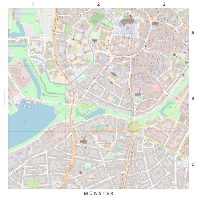
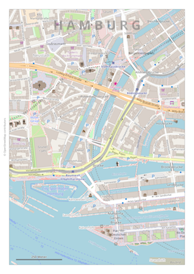
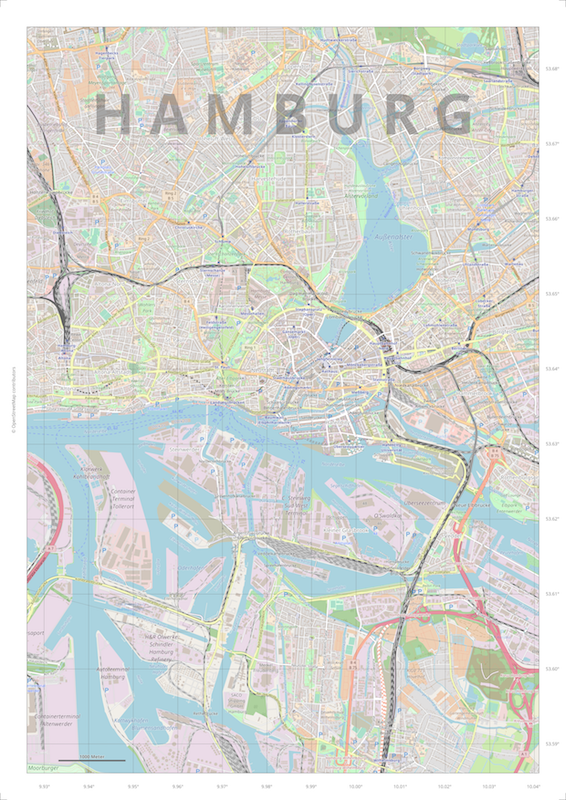
The internal Template (Webmercator, 1:50.000, 420x594 mm, Download) is often the starting point for your own maps. First you create a template and then adapt it to your own requirements. For the first steps with printmaps it is also recommended to create a map from the template. Afterwards one is familiar with the basic procedure of the map production.
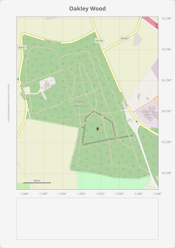
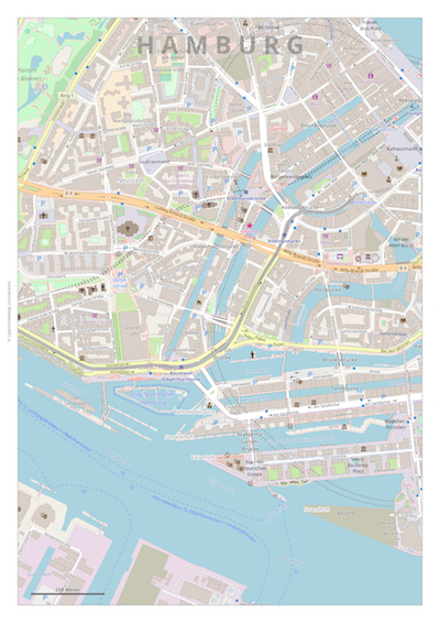
Example (Webmercator, 1:5.000, 600x600 mm, Download) for displaying a track. The user data are available in gpx format.
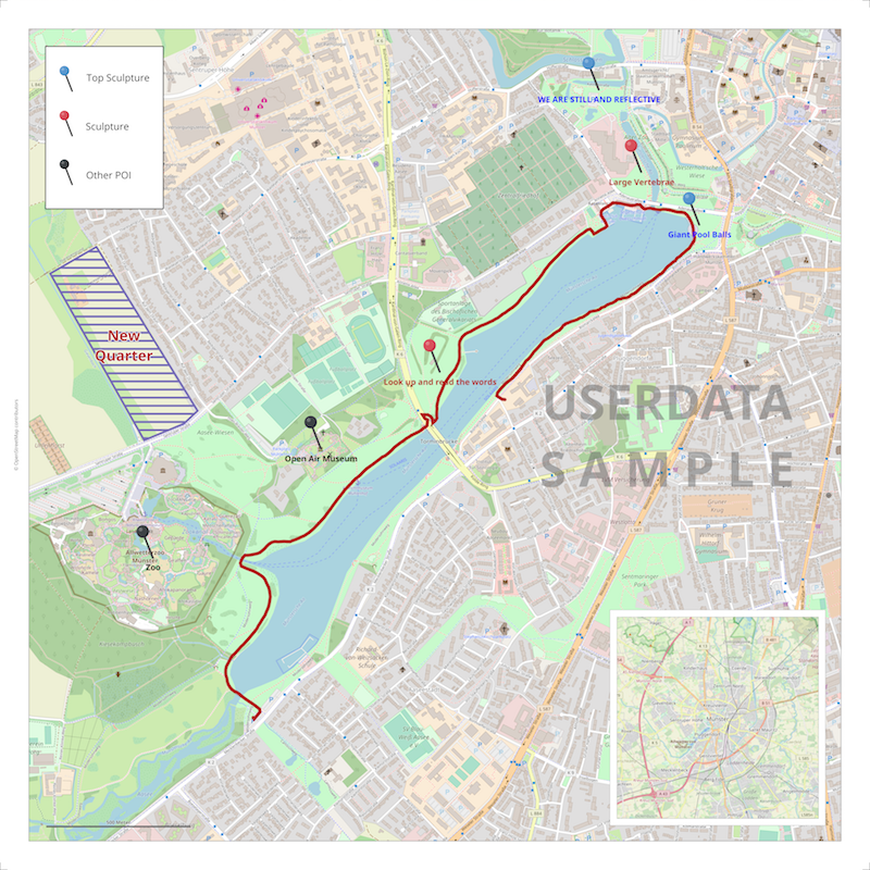
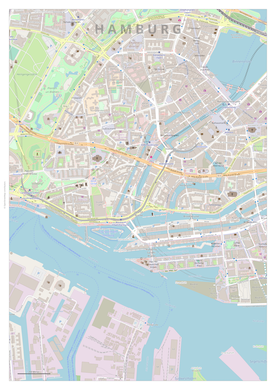
Example (Webmercator, 1:5.000, 600x600 mm, Download) for displaying different user data and elements. The user data are available in gpx, kml, csv-wkt and geojson format. The graphical user elements are in svg and png format.
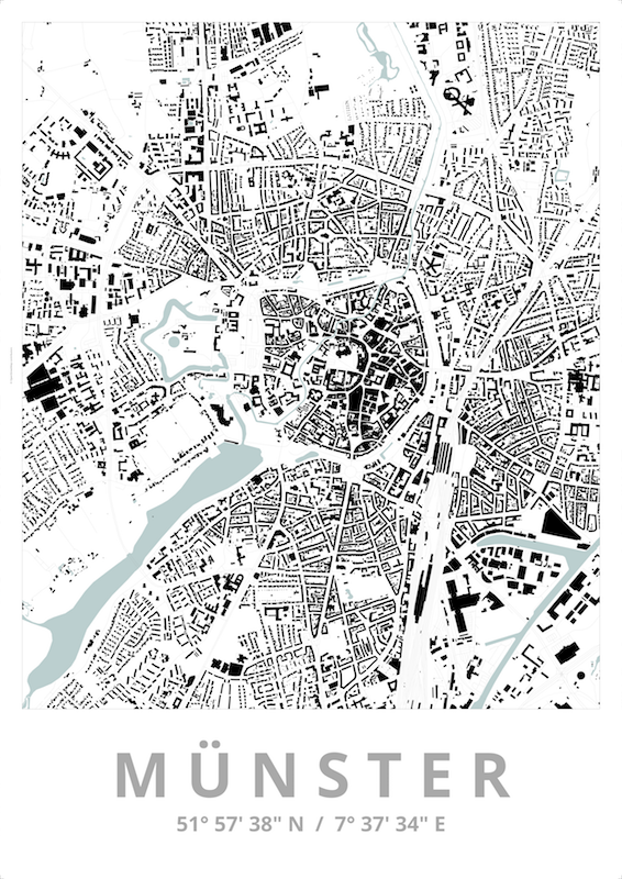
Example (Webmercator, 1:5.000, 841x1189 mm, Download) for creating a map poster. The map design "schwarzplan+" was used.
Example (Webmercator, 1:2.500, 600x600 mm, Download) for the creation of a city map. The grid division (csv-wkt-format) and labeling is made via user specifications. The road reference is still to be created. The raw data for this can be determined, for example, via an Overpass API query and (in a prepared form) placed as a legend on the map.
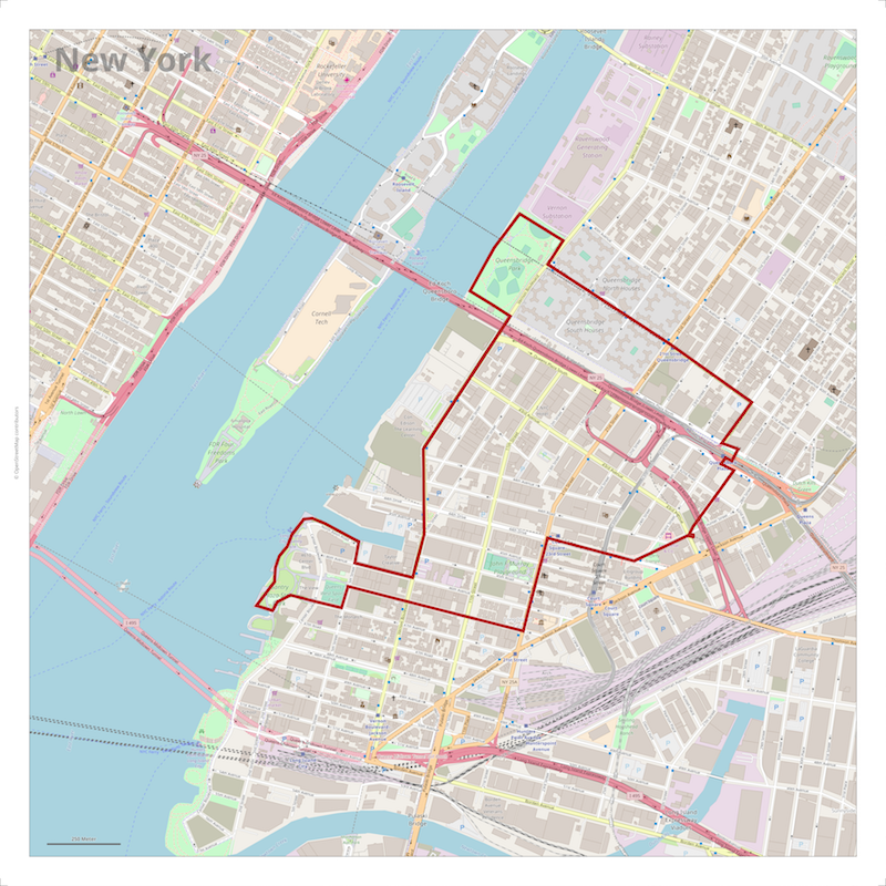
Example (Webmercator, 1:50.000, 900x900 mm, Download) for highlighting a map area by out-masking (overdrawing) the adjoining federal state polygons (in geojson format).
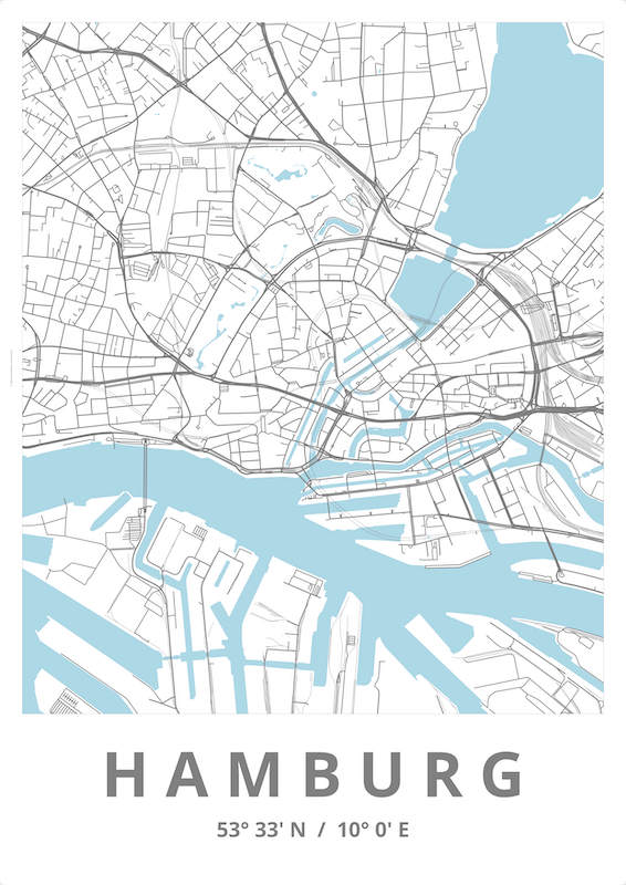
Example (Webmercator, 1:100.000, 1000x1000 mm, Download) for presenting your own data (german constituencies 2017 in shape format) on a neutral (monochrome) map background.

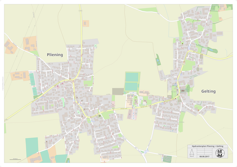
Example (Webmercator, 1:2.500, 841x594 mm, Download) for a map application at the fire brigade. The user data (hydrants, suction points) are in geojson format, the associated user icons are SVG graphics.
Creation of the map:
Smaller print formats (Webmercator, 1:5.000, A4=210x297 mm, A3=297x420 mm , A2=420x594 mm) can also be output on standard office printers.
|
|
|
| Download DIN-A4 | Download DIN-A3 | Download DIN-A2 |
Example (Webmercator, 1:5.000, 841x1189 mm, Download) of an artistically designed map. All map objects are based on user data. The first step is to extract the user data from the OSM map data and save it in gpx format.
Example (Webmercator, 1:20.000, 420x594 mm, Download) for a map with lat/lon coordinate grid. The coordinate grid was generated in GeoJSON format and as user object rendered on the map.
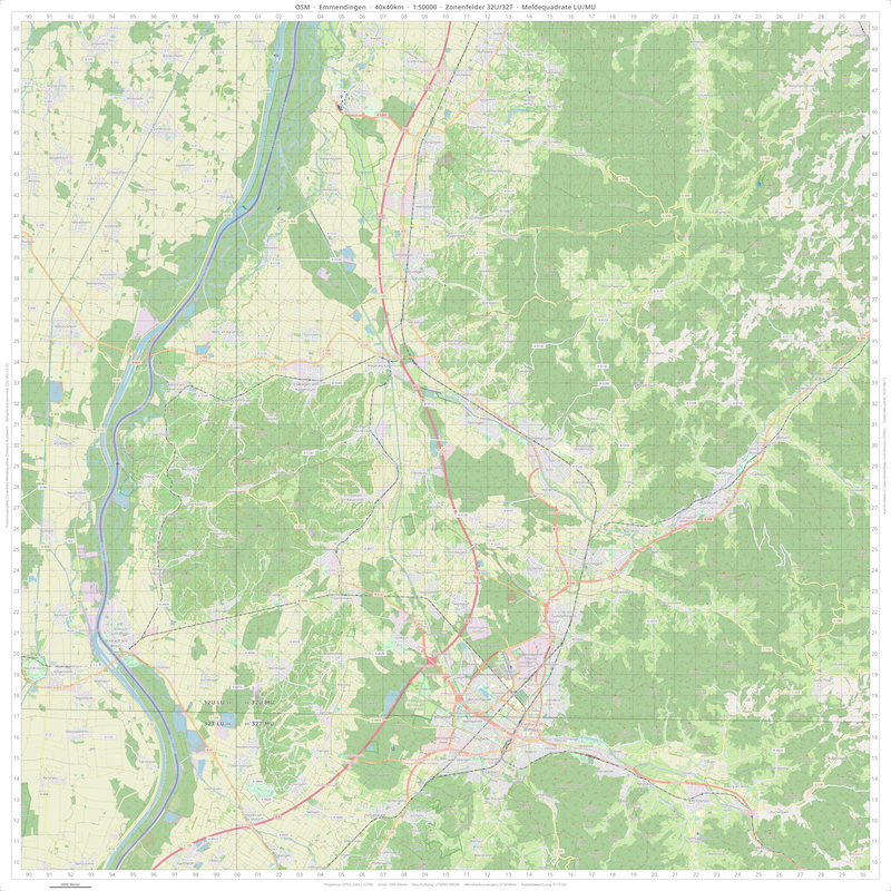
Example (UTM Zone 32N, 841x841 mm, Download) for a map set with UTM coordinate grid and UTM projection. The coordinate grid was generated in GeoJSON format and rendered as a user object on the map. The set consists of maps with the following scales:
- 1:3.125
- 1:6.250
- 1:12.500
- 1:25.000
- 1:50.000
The maps are generated with the projection EPSG:32632 (WGS 84 / UTM Zone 32N, Universal Transverse Mercator Projection). The grid is labeled with UTMREF/MGRS values. The maps meet the requirements of German rescue services.
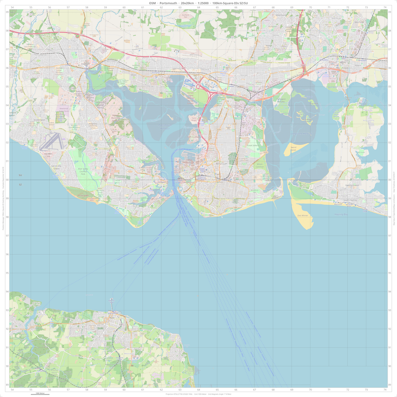
Example (British National Grid, 1:25.000, 841x841 mm, Download) for a map with British coordinate grid and British National Grid projection. The coordinate grid exists as a shape file and is drawn as an user object on the map. The map is generated with the projection EPSG:27700 (OSGB 1936 / British National Grid).
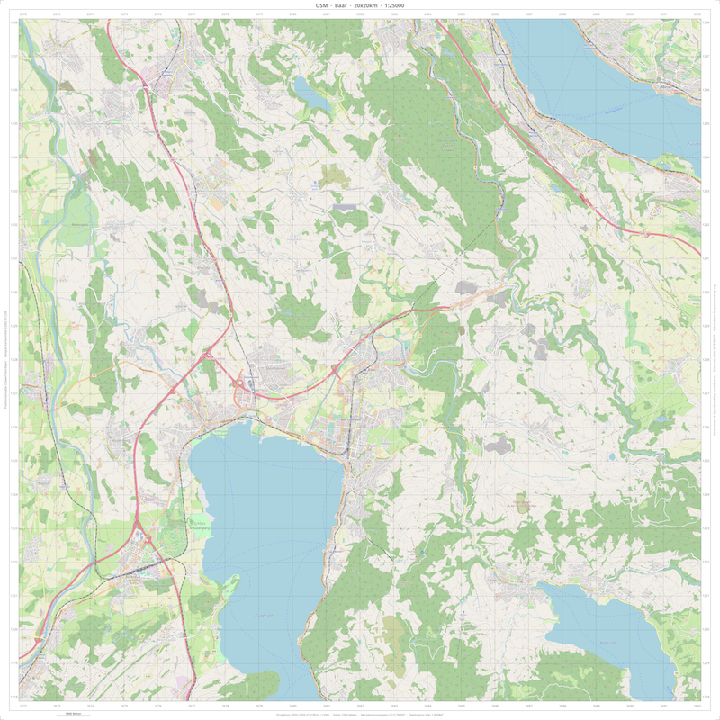
Example (LV95, 1:25.000, 841x841 mm, Download) for a map with a Swiss coordinate grid and LV95 projection. The coordinate grid was generated via a Lua program in GeoJSON format and rendered as an user object on the map. The map is generated with the projection EPSG:2056 (CH1903+ / LV95).
Example (Webmercator, 1:27.000, 608.6x812.8 mm, Download) for a multi-step workflow to create an artistically designed map. First, a background map based on OSM data, and a transparent foreground map based on user data are generated. Then the colors of the background map are changed and the two maps are joined together (both via ImageMagick).

Example (Webmercator, 1:12.500, 1682x1189 mm, Download) for a large format hiking map with tours and markers.

Example (Webmercator, 1:6.000, 210x297 mm, Download) for a visitor information sheet. The visitor information and the information for the points-of-interest are supplemented by an external program.