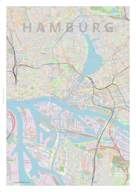
Printmaps is a web service that allows the creation of large-format, OSM-based maps in printing quality. The map can be supplemented by a variety of user elements and user data.
- large-format maps in print quality
- various map designs (osm-carto, osm-carto-ele20, schwarzplan+, ...)
- various file formats (png, pdf, svg)
- user defined additive elements (frame, grid, legend, scale bar, ...)
- user defined data elements (gpx, kml, shape, geojson, csv, ...)
- selectable map projection (EPSG:3857, EPSG:32632, EPSG:27700, EPSG:2056, ...)
The map data is based on the OSM data of 2026-05-24. The next update is planned for October 2026.
Printmaps can be used:
- Browser GUI
- Editor GUI
- Basic GUI
- Command Line
- Web Service